Tech & Data: Page 2


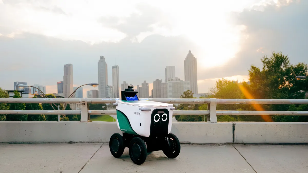
  • A Serve Robotics Robot in front of Atlanta's skyline.
    Image attribution tooltip
    Courtesy of Serve Robotics
    Image attribution tooltip

    Uber Eats, Serve Robotics roll into Atlanta

    The robotics firm will offer delivery to about 50,000 Atlanta residents as it continues expanding its partnership with Uber Eats.

    By Aneurin Canham-Clyne • June 27, 2025
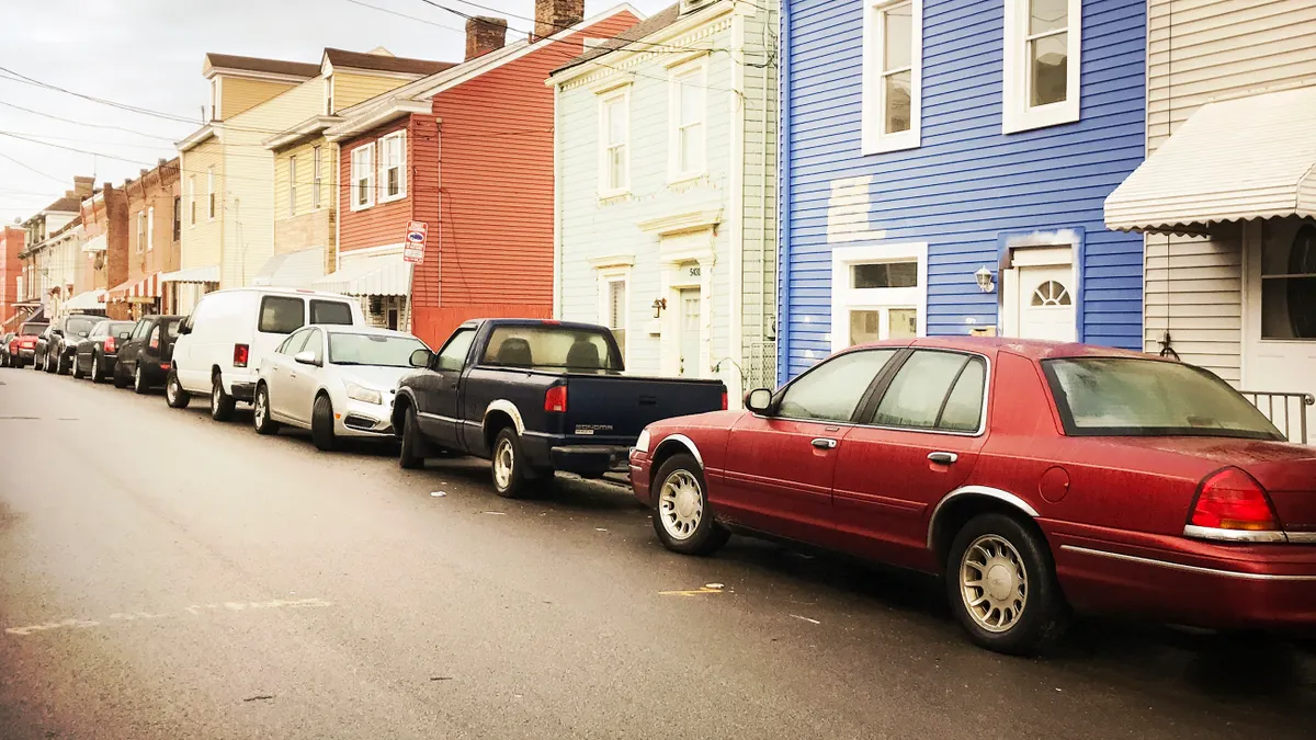
  • A line of cars parked in front of a sidewalk and houses.
    Image attribution tooltip
    bgwalker via Getty Images
    Image attribution tooltip

    Smart loading zones help cities take back the curb

    Successfully managing curb space with IoT-enabled loading zones hinges on enforcement, communication and coordination with all stakeholders.

    By Karen Kroll • June 26, 2025
  • Digital data flow on road with motion blur to create vision of fast speed transfer. Explore the Trendline
    Image attribution tooltip
    NanoStockk/iStock/Getty Images Plus via Getty Images
    Image attribution tooltip
    Trendline

    Smart Cities Technology and Data

    Cities are increasingly looking to technology and data to address real-world issues from traffic safety to law enforcement.

    By Smart Cities Dive staff
  • A detailed landscape design plan showing topographic contour lines, orange building illustrations, green trees, and directional arrows. The layout includes winding paths and clustered vegetation. A triangular scale ruler lies on the left, and three colored pencils, colored blue, green, and yellow, rest on the lower right corner of the page.
    Image attribution tooltip
    Toa55 via Getty Images
    Image attribution tooltip

    The pandemic and election disruptions have made local governments a target for cybercrime

    Cybercriminals carry out highly targeted and prolonged attacks against local governments that involve advanced tools and techniques to infiltrate networks.

    By Michael Keating • June 25, 2025
  • A detailed landscape design plan showing topographic contour lines, orange building illustrations, green trees, and directional arrows. The layout includes winding paths and clustered vegetation. A triangular scale ruler lies on the left, and three colored pencils, colored blue, green, and yellow, rest on the lower right corner of the page.
    Image attribution tooltip
    Toa55 via Getty Images
    Image attribution tooltip

    OpenAI ‘for government’ initiative aims to further integrate AI into public sector

    The initiative offers all levels of federal, state and local government access to OpenAI’s ChatGPT Enterprise and ChatGPT Gov within "secure and compliant environments."

    By June 20, 2025
  • A skyline shot of Austin, Texas, with its skyscrapers, and with the Texas State Capitol building in view.
    Image attribution tooltip
    adamkaz via Getty Images
    Image attribution tooltip

    Municipalities tap AI for permitting

    Los Angeles and Austin, Texas, are using the technology to cut wait times. Honolulu promises its use also will result in faster responses.

    By Matthew Thibault • June 20, 2025
  • A detailed landscape design plan showing topographic contour lines, orange building illustrations, green trees, and directional arrows. The layout includes winding paths and clustered vegetation. A triangular scale ruler lies on the left, and three colored pencils, colored blue, green, and yellow, rest on the lower right corner of the page.
    Image attribution tooltip
    Toa55 via Getty Images
    Image attribution tooltip

    No surprise: The public sector faces more ransomware and cloud-based attacks in 2025

    Several factors leave cities and counties more vulnerable to cyber-attacks, including limited security budgets, less mature security programs and slower ability to adapt to evolving threats.

    By Michael Keating • June 16, 2025
  • A footpath lined with trees and bushes with tall buildings in the background.
    Image attribution tooltip
    Thomas Faull via Getty Images
    Image attribution tooltip

    New AI tool helps cities respond to shrinking urban canopy

    The open-source model helps cities monitor vegetation loss in real time and plan smarter greenery investments based on population density and vulnerability.

    By June 16, 2025
  • A detailed landscape design plan showing topographic contour lines, orange building illustrations, green trees, and directional arrows. The layout includes winding paths and clustered vegetation. A triangular scale ruler lies on the left, and three colored pencils, colored blue, green, and yellow, rest on the lower right corner of the page.
    Image attribution tooltip
    Toa55 via Getty Images
    Image attribution tooltip

    Study: Business AI power consumption highest in these 10 states

    States across the country are seeing surges in electricity usage from businesses incorporating AI, according to a recent study by internet marketing company DesignRush.

    By June 13, 2025
  • A detailed landscape design plan showing topographic contour lines, orange building illustrations, green trees, and directional arrows. The layout includes winding paths and clustered vegetation. A triangular scale ruler lies on the left, and three colored pencils, colored blue, green, and yellow, rest on the lower right corner of the page.
    Image attribution tooltip
    Toa55 via Getty Images
    Image attribution tooltip
    Column

    Making process improvement stick: A data-driven path to local government efficiency

    CPI is a structured, ongoing approach to identifying and eliminating inefficiencies in operations. For state and local governments, this means streamlining workflows, leveraging available data and technology, and continuously adapting to changing community needs.

    By Claire Collins, DeAndre Watson • June 12, 2025
  • A drone in the sky carries a Walmart-branded package.
    Image attribution tooltip
    Courtesy of Walmart
    Image attribution tooltip

    Walmart to expand drone delivery to 5 more cities

    Customers in Atlanta, Houston and more will be able to tap into the technology by next year as part of the retailer's deepening collaboration with Wing.

    By Max Garland • June 11, 2025
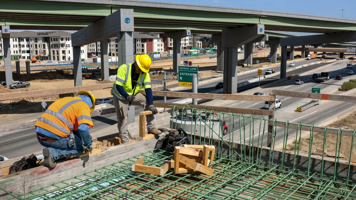
  • Two construction workers in hardhats with a highway behind them.
    Image attribution tooltip
    John Moore via Getty Images
    Image attribution tooltip

    How the Texas DOT uses AI

    Artificial intelligence is helping traffic incident response and promises much more, department leaders said.

    By June 9, 2025
  • A cruise ship with people on deck sails past a large building with BATWorks sign over the front door.
    Image attribution tooltip
    Courtesy of NYCEDC
    Image attribution tooltip

    New York bets big on green economy with Brooklyn climate innovation hub

    NYC and LA nonprofits expect BATWorks to nurture 150 cleantech startups, generate $2.6B in economic impact and create more than 600 green jobs.

    By Danielle McLean • June 5, 2025
  • A detailed landscape design plan showing topographic contour lines, orange building illustrations, green trees, and directional arrows. The layout includes winding paths and clustered vegetation. A triangular scale ruler lies on the left, and three colored pencils, colored blue, green, and yellow, rest on the lower right corner of the page.
    Image attribution tooltip
    Toa55 via Getty Images
    Image attribution tooltip
    Column

    Empowering public sector IT: Overcoming security, compliance and access challenges

    Public sector IT leaders need both an articulated road map for the future and effective, real-world solutions. By adopting virtualization technologies, these organizations can empower employees with secure remote access to essential tools and resources.

    By Prashant Ketkar • June 4, 2025
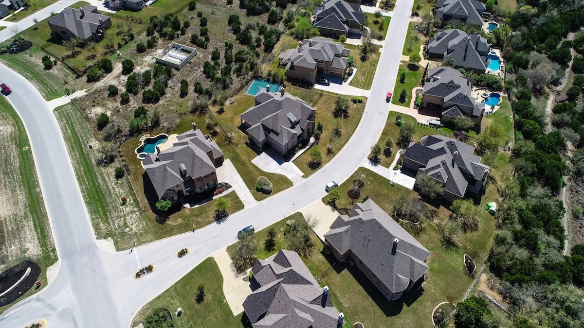
  • Suburb in Dripping Springs , Texas , USA aerial drone view above homes and houses in neighborhood
    Image attribution tooltip

    SHutterstock/Roschetzky Photography

    Image attribution tooltip
    Sponsored by Melissa

    Harnessing Melissa location data to optimize city and county government operations

    Accurate, accessible location data streamlines operations and enhances cost-effective county and city governance.

    By Daniel Kha Le • June 2, 2025
  • A detailed landscape design plan showing topographic contour lines, orange building illustrations, green trees, and directional arrows. The layout includes winding paths and clustered vegetation. A triangular scale ruler lies on the left, and three colored pencils, colored blue, green, and yellow, rest on the lower right corner of the page.
    Image attribution tooltip
    Toa55 via Getty Images
    Image attribution tooltip

    These 10 states have the highest fiber broadband availability

    The most notable increases in fiber-to-the-home availability per capita were in central, southwestern and New England states, according to a recent study.

    By May 28, 2025
  • A man sits with his head in his hands in a large pile of rubble.
    Image attribution tooltip
    Michael Swensen via Getty Images
    Image attribution tooltip

    With AI, post-tornado assessments could be ‘near-instantaneous’

    Texas A&M researchers have developed a model that delivers comprehensive damage maps and recovery forecasts within hours of a storm.

    By May 28, 2025
  • A detailed landscape design plan showing topographic contour lines, orange building illustrations, green trees, and directional arrows. The layout includes winding paths and clustered vegetation. A triangular scale ruler lies on the left, and three colored pencils, colored blue, green, and yellow, rest on the lower right corner of the page.
    Image attribution tooltip
    Toa55 via Getty Images
    Image attribution tooltip
    Column

    Strategic budgeting: Why it matters for every taxpayer

    Communities are shifting away from traditional budgeting models and adopting strategies that connect spending with tangible results.

    By Tom Amburgey, Mark Funkhouser, and Nick Mastronardi • May 21, 2025
  • A detailed landscape design plan showing topographic contour lines, orange building illustrations, green trees, and directional arrows. The layout includes winding paths and clustered vegetation. A triangular scale ruler lies on the left, and three colored pencils, colored blue, green, and yellow, rest on the lower right corner of the page.
    Image attribution tooltip
    Toa55 via Getty Images
    Image attribution tooltip

    Tomorrow’s government worker will have a passion for public service and excellent technical skills

    Agencies are looking to increase efficiency and are seeking talent to revitalize processes and streamline workflows to improve citizen services. Organizations require talent with business process innovation skill sets. This can include general practitioners with strong analytical thinking skills who can bring innovative ideas to government.

    By Michael Keating • May 19, 2025
  • Aerial view of a city
    Image attribution tooltip

    Adobe / TechAnimationStock

    Image attribution tooltip
    Sponsored by Oldcastle Infrastructure

    Innovative solutions to manage America’s invisible crisis: Water loss from aging infrastructure

    Aging water infrastructure strains budgets, limits growth. The solution? AI technology + expertise.

    By Peter Delgado • May 19, 2025
  • A detailed landscape design plan showing topographic contour lines, orange building illustrations, green trees, and directional arrows. The layout includes winding paths and clustered vegetation. A triangular scale ruler lies on the left, and three colored pencils, colored blue, green, and yellow, rest on the lower right corner of the page.
    Image attribution tooltip
    Toa55 via Getty Images
    Image attribution tooltip
    Column

    Addressing data challenges in local government AI adoption

    As chief data officers continue to integrate AI technologies, a plan for identifying and standardizing data integrity throughout the extraction process can ensure that cleaned data is optimized for AI consumption.

    By Sarjoo Shah • May 16, 2025
  • A Wing drone used by DoorDash delivers a Wendy's package.
    Image attribution tooltip
    Courtesy of DoorDash
    Image attribution tooltip

    DoorDash, Wing bring drone delivery to Charlotte

    Panera is among a handful of restaurants now offering drone delivery from a shopping center in the North Carolina city.

    By Julie Littman • May 16, 2025
  • A nighttime view of a city skyline, with streaks of light from the highway in the foreground.
    Image attribution tooltip
    The image by Maciek Lulko is licensed under CC BY 2.0
    Image attribution tooltip

    The 10 cities best prepared for a ‘smart city future’

    A new city tops the ProptechOS Smart City Index in 2025 based on its tech infrastructure and connectivity, sustainability and tech job market. 

    By Ryan Kushner • May 13, 2025
  • A detailed landscape design plan showing topographic contour lines, orange building illustrations, green trees, and directional arrows. The layout includes winding paths and clustered vegetation. A triangular scale ruler lies on the left, and three colored pencils, colored blue, green, and yellow, rest on the lower right corner of the page.
    Image attribution tooltip
    Toa55 via Getty Images
    Image attribution tooltip

    Tech hubs: these 10 cities are ‘best prepared’ for a smart city future

    The annual ranking is based on metrics related to tech infrastructure and connectivity, sustainability and each city’s tech job market. 

    By May 12, 2025
  • A detailed landscape design plan showing topographic contour lines, orange building illustrations, green trees, and directional arrows. The layout includes winding paths and clustered vegetation. A triangular scale ruler lies on the left, and three colored pencils, colored blue, green, and yellow, rest on the lower right corner of the page.
    Image attribution tooltip
    Toa55 via Getty Images
    Image attribution tooltip
    Column

    How training and a broader talent pool can help local governments combat escalating cyber threats

    By building a strong culture and commitment to cybersecurity through training and engaging a robust talent pipeline, state and local governments can create a foundation for the future now.

    By Max Shuftan • May 9, 2025
  • A detailed landscape design plan showing topographic contour lines, orange building illustrations, green trees, and directional arrows. The layout includes winding paths and clustered vegetation. A triangular scale ruler lies on the left, and three colored pencils, colored blue, green, and yellow, rest on the lower right corner of the page.
    Image attribution tooltip
    Toa55 via Getty Images
    Image attribution tooltip

    Enhanced tech helps government fleets run at peak performance, but fleet managers must evolve

    From supply chain disruptions to technological advancements including telematics, AI and driver-assistance, the role of the fleet professional is evolving faster than ever before.

    By Michael Keating • May 8, 2025