The U.S. Department of Transportation earlier this month mandated states and metropolitan planning organizations submit a list of locations along arterial roads with the greatest safety or other concerns that they will address by the end of fiscal year 2026. Governors must comply by August 30.
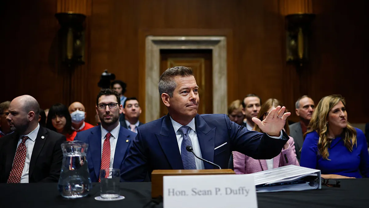
“Far too many Americans die each year to traffic fatalities to take our eye off the ball,” Transportation Secretary Sean Duffy said in a statement. “USDOT stands ready to help communities across the country make their roads safer and easier to navigate.”
The letter went out to governors July 1, giving them 60 days to comply. Though the deadline seems short, many states, cities and planning organizations may already have much of the needed data, and private sector firms can help.
“A lot of [transportation] agencies have done a Vision Zero plan along those lines,” Ahmed Darrat, chief product officer at INRIX, said in an interview. INRIX collects, analyzes and provides traffic data.
Smartphones and connected vehicles are a treasure trove of traffic information. A number of sources make anonymized data available.
Smartphones can identify hard braking, excessive speed and other information from vehicles in motion, while connected vehicles provide more detailed information from advanced driver assistance systems such as automatic emergency braking and adaptive cruise control. These technologies use cameras and other sensors that have become common in most passenger vehicles manufactured in the past 10 years.
Darrat said INRIX mainly relies on connected vehicles, “because they're the most reliable, and they are the only ones that can give you certain data points.” The company provides anonymized data to the public sector.
As part of that work, INRIX developed a generative AI application that enables users to query its database in a conversational manner.
“You can just ask it questions,” and it will look at the data and respond with recommendations, Darrat said. He emphasized the importance of data when dealing with safety issues. “It's too serious of a topic to be subjective about,” he said.
The data can also reveal connections between locations where crashes are more common and similar locations that may become trouble spots.
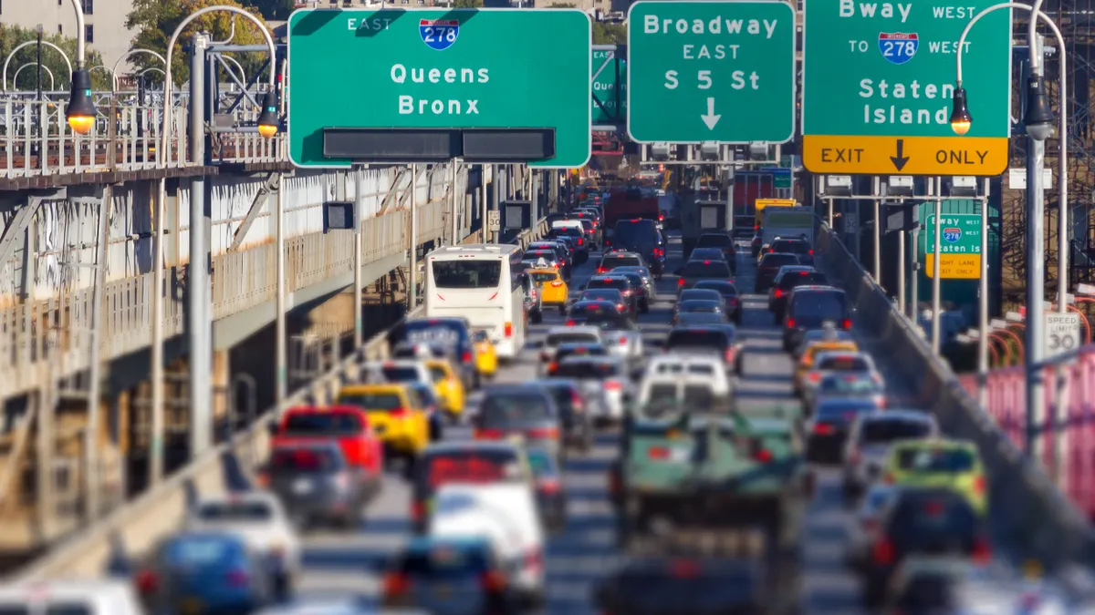
The Federal Highway Administration launched its “Safe Roads” initiative July 1. The effort focuses on non-freeway arterial roads, where more than half of U.S. traffic deaths occurred in 2020.
Duffy defined the program’s goals as making roads safer and easier to navigate for pedestrians, vehicle operators and automated vehicles; empowering states and local governments to simplify and improve roadway environments; and using data-driven decisions and target safety and mobility investments.


