Dive Brief:
- Transportation analytics company StreetLight Data has unveiled a study identifying the U.S. communities with the most limited evacuation routes. Florida topped the list as the state with the most evacuation-challenged communities, followed by California, Arizona, Texas and Washington.
- The study looked at 30,000 communities with populations of 40,000 or less and analyzed the communities' respective exit route accessibility in the face of floods, fires, hurricanes, tornadoes and other natural disasters. Risk was calculated based on the number of available exits in the community, how many vehicles use the routes daily and the community's overall population.
- The five most constrained U.S. communities are islands — Camano, WA; Hilton Head Island, SC; Mercer Island, WA; Hutchinson Island South, FL; and Sanibel, FL — while many other constrained communities are located near canyons or lakes with minimal exits.
Dive Insight:
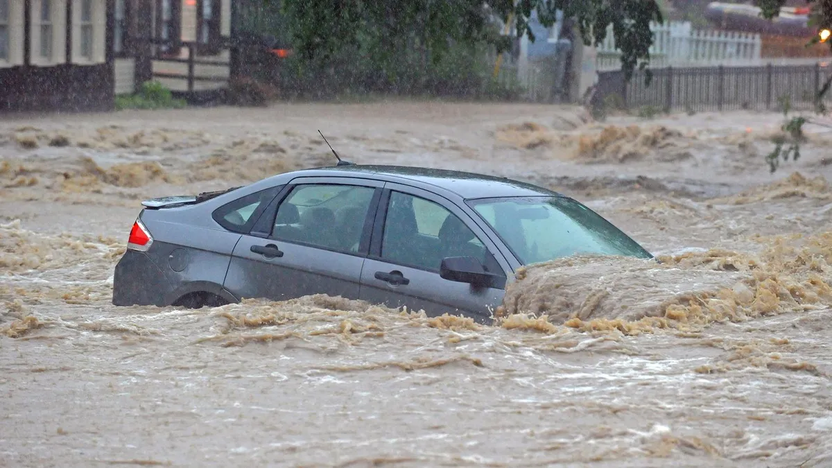
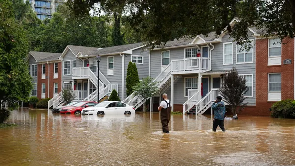
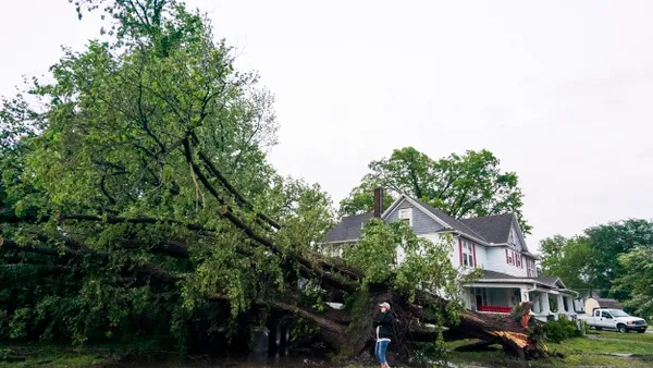
Natural disasters have become increasingly devastating for U.S. communities as temperatures around the globe continue to rise. The National Oceanic and Atmospheric Administration (NOAA) found natural disasters cost the U.S. $91 billion in 2018 alone, a cost that can potentially be curbed in the future with preventative strategies and resiliency plans.
Cities cannot strategically allocate funds and efforts, however, without understanding where resources are needed most. It is often the case that natural disasters have disproportionate effects on smaller communities than larger metropolitan areas that are more equipped with resources, therefore StreetLight Data focused its analysis on those more at-risk towns.
The findings are concerning, considering the frequency at which natural disasters impact the states with the most evacuation-challenged communities. Florida is the most hurricane-prone state in the country — 40% of all U.S. hurricanes hit Florida, according to the NOAA — while California has already lost more than 24,000 acres to wildfires since Jan. 1, 2019, according to the California Department of Forestry & Fire Protection (CAL FIRE).
During the devastating 2018 Camp Fire in Paradise, CA, the city only had six roads leading out of two, three of which were closed due to obstacles from the fire. The remaining roads were clogged with dangerous volumes of vehicles trying to escape, a scenario that may have been avoidable with better evacuation planning.
CAL FIRE, along with agencies like FEMA and Ready.gov, offer resources to help communities and families develop evacuation strategies for such weather events, however those resources don't indicate where exactly strategies should be prioritized.
"[City planners] want to prioritize, they want to analyze but they really have nowhere to start," StreetLight Data's VP of Marketing Martin Morzynski told Smart Cities Dive in an interview. He said the study doesn't detail action items for planners or agencies, however it should help them understand where to best allocate resources.


