Dive Brief:
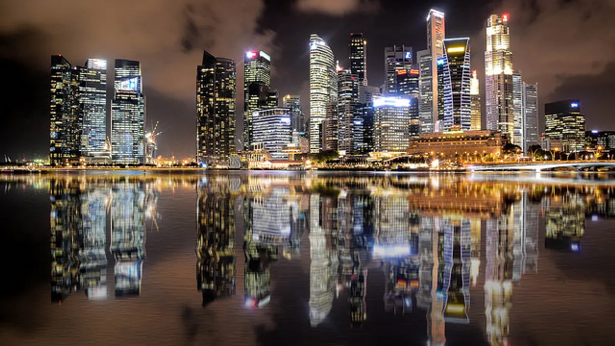
- As part of its upcoming revised master plan that guides development, Singapore is expected to unveil a 3-D map of the city's subterranean spaces and their potential uses next year, according to The Straits Times and others.
- The government is documenting what currently exists underground, including water pipes and power grids, and identifying possible areas for pilot programs. Leaders are still deciding how much detail the 3-D map will provide and who will be able to access it because of security concerns.
- The government has already reworked land laws so that it can own parcels of land below street-level private properties to build deep underground city structures, such as storage facilities, utilities or roadways.
Dive Insight:
Singapore is out of space and looking at innovative ways to expand, as reported in The Straits Times, especially because its government expects the population to increase by about 1.3 million people by 2030. The island nation, which is only separated from mainland Malaysia by a strait, has less land mass than New York City but already is about 55 square miles bigger than it was in the 1960s due to growth and land reclamation. It aims to add an additional 18 square miles of land by 2030.
In part, Singapore will reclaim land through a method known as empoldering, which involves building a dike around a portion of land and then draining the water from it. But continuously expanding land in this way isn't sustainable or practical. Other ideas under consideration to maximize the island's space are to have floating buildings in the water surrounding Singapore, and to increase density and construct taller buildings, although height restrictions hamper that idea.
Heading downward instead of upward is one way to maximize existing land. A number of U.S. cities have found success with this concept, both in public utilities and commercial development. Chicago has a system of underground pedestrian tunnels, called the Pedway, which connect about 40 downtown blocks of subway stations with shops, restaurants and other businesses dotting many of the underground corridors. Atlanta's subterranean shopping and entertainment district, called Underground Atlanta, was essentially a huge below-grade mall that rested under many downtown city blocks. It opened in the late 1960s and operated until it was sold last year; it's now closed for redevelopment.
But nothing in the United States quite compares to Singapore's underground plans. Ideas being considered are multiple levels of pedestrian ways, water reservoirs, ammunition storage facilities, roadways and oil storage. The government might also decide to put deep underground utilities and services that are currently above ground, such as electrical substations and waste systems.
One challenge of publicly accessible subterranean infrastructure is making its presence visible enough to sustain public use. Often structures that are not at street level are unknown or forgotten by residents. Chicago's Pedway opened in chunks starting in the 1950s, but it is unknown to many — if not most — residents and the heated tunnels are underutilized even in the city's harshest winter conditions. Consider that the city has about 2.7 million people but only several thousand use the system on the average weekday, when downtown foot traffic is at its highest. Residents claim the system is confusing because it's not well known or advertised and no portable maps are available within the Pedway. Chicago leaders are currently working on ways to improve the Pedway and boost its visibility and public use.
Underground Atlanta, though far more well-known by locals, has been on the decline since the 1990s. Its issues lie less in a lack of advertising and more in falling into disrepair at a time when heavily retail-focused areas, such as malls, are suffering as retail continues its shift from brick-and-mortar to online stores. Underground Atlanta is being redeveloped into a more mixed-use community hub, both above and below ground, that will have housing, work space and the existing concert venue, instead of the previous focus on retail.
Part of what makes Singapore's plan different is that it would not necessarily rely so heavily on private commercial developments for the underground spaces. Although one idea under consideration is a series of pedestrian walkways, many of the suggested uses are for government property or services, such as water reservoirs or munitions storage. That doesn't mean the government won't allow private or public-private subterranean development in the future, just that the 3-D map and the overall plan are still very much in development and a final vision hasn't yet been set.
A barrier both Chicago and Atlanta face and that Singapore leaders have acknowledged is the difficulty of constructing and transforming underground infrastructure, compared with the ease of tearing down or building street-level structures. Costs for underground development are also higher. More planning is involved to prevent a ripple effect if one subterranean structure experiences a breakdown. For example, a water main break often leads to entire sections of road being dug up. That's a less feasible option when pipes are installed deeper and surrounded by levels of other underground development.
Thus, extra planning is necessary to protect against potentially disastrous situations collapsing the entire underground infrastructure, and Singapore is smart to take its time with formulating a comprehensive plan.


