Cities face a tremendous range of environmental challenges, from contending with everyday issues like managing potholes and ensuring water quality to mitigating climate change and dealing with more frequent natural disasters. And on the transport front, coming technologies such as VTOL aircraft and robotic drones will require cities to actively manage their airspace.
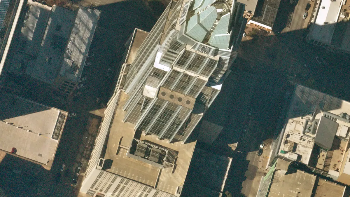
A Brooklyn-based startup wants to help cities navigate these issues with high-altitude, high-resolution imagery collected by an autonomous device attached to a small weather balloon.
Smart Cities Dive spoke with Rema Matevosyan, CEO and co-founder of Near Space Labs, to learn more about the technology and how cities can use it to monitor and address these challenges.
The following interview has been edited for length and clarity.
SMART CITIES DIVE: What is Near Space Labs?
REMA MATEVOSYAN: Near Space Labs is an Earth imaging company. Our mission is to make high-resolution, highly updated information about our changing planet universally accessible. We believe that high-quality Earth imagery is going to be at the epicenter of how we continue building our cities with rising disaster and climate risks.
How does it work?
We are flying balloons to the stratosphere. It's a robotic device called Swifty that we attach to a balloon, and then there's a technology that controls and guides the robot. It takes very high-resolution pictures of the planet from 60,000 feet.
We can launch at any hour of the day. The Swifty is a very small device that ships in a suitcase and works out of the box with the flick of a switch.
Where will your balloons fly, and how often can they create images?
We are currently scaling up to [serve] the 1,200 most urbanized areas in the United States. Our baseline coverage is quarterly, but we are able to [capture images] up to multiple times a day for certain seasonal applications and for certain periods when our customers need this high image rate.
How can cities use this technology?
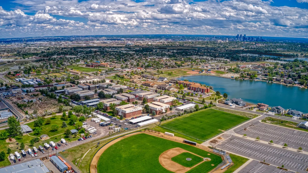
We see so many opportunities to serve governments: public works, water utilities, departments of transportation, fire departments. Vegetation overgrowth and power lines in cities is a big one. Another one is gas pipeline leaks. You can see big spots of dead vegetation around a damaged pipeline. The nimbleness [of the technology] allows us to deploy very quickly for catastrophic events.
What future applications do you see for this technology?
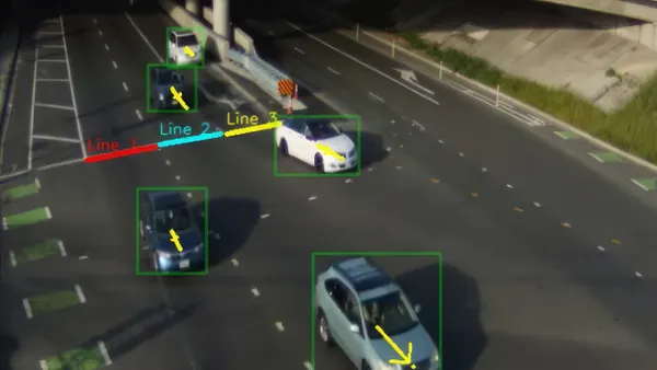
We are very actively looking at applications like autonomous driving and the next generation of navigation systems. We see a holistic solution to autonomous driving in which you would have updated maps and the bird's-eye view updated very frequently. That will give information to the car, and as the car drives, it can also use its own sensors, but it will have better baseline information.
Organizing [urban air mobility] infrastructure would be an interesting [potential application]. It is very clear to me that you need very high-res and frequently updated information in such a complicated ecosystem.
Currently you provide photographic imagery. Could your balloons deliver other types of images or data?
Our Swiftys are built to be plug-and-play, so we can fly different types of sensors. There are many spectral bands out there: infrared for thermal emission, hyperspectral sensors for greenhouse gases. Thermal is very exciting [because] we can start mapping heat island effects.
What is in the future for Near Space Labs?
Every single day, people come to us with their specific asks, and it's fascinating to follow what people want to do with data that is affordable. What happens if you make this type of data about the cities and environment we live in very affordable? And what happens if you give all this data to all the universities to innovate on? We're just scratching the surface.


