Dive Brief:
- New York state residents can now see a daily assessment of wildfire risk in their area with new online maps Gov. Kathy Hochul unveiled last week.
- “This new data tool will help get critical information to the public and firefighters faster and more accurately so that the danger created by these wildfires can be minimized,” New York Division of Homeland Security and Emergency Services Commissioner Jackie Bray said in a statement.
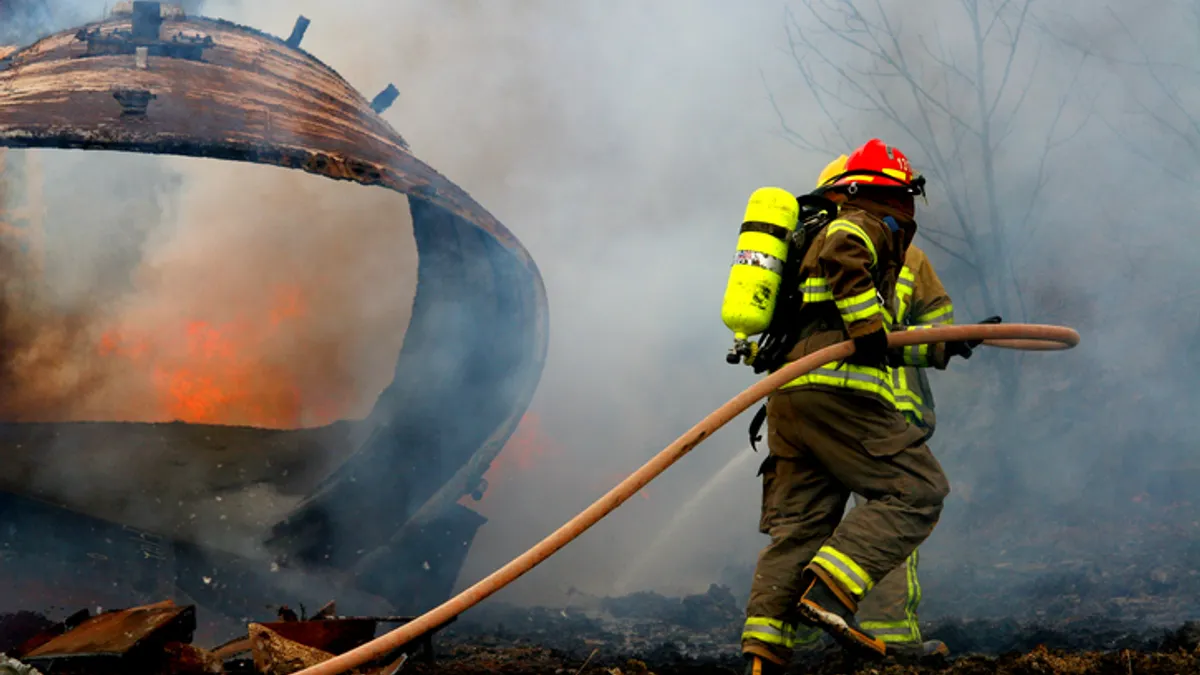
- The announcement comes as recent dry weather is fueling large brush fires in the state’s lower Hudson River Valley region. Neighboring states New Jersey and Connecticut have also battled wildfires in recent days.
Dive Insight:
New York’s new fire danger maps give a daily assessment of each region’s wildfire risk out of five possible levels from low to extreme. On Oct. 29, much of upstate New York faced moderate wildfire risk and the Hudson Valley and Long Island faced high wildfire risk.
The New York Department of Environmental Conservation’s Wildfire Predictive Services office generates the daily fire danger ratings map using data from the University at Albany’s statewide weather network. The university-run New York State Mesonet is the country's most advanced and largest early-warning weather detection system, with at least one weather observation station in every county and borough, according to a press release. The stations collect data every five minutes, measuring temperature, humidity, wind speed and direction, barometric pressure, precipitation, solar radiation, snow depth and soil information. They also provide camera images.
“Localized weather data has a critical role to play in how we adapt to the most severe impacts of climate change,” New York State Mesonet Executive Director Chris Thorncroft said in a statement. When preparing for wildfires, accurate data can help officials deploy resources and advise communities of potential danger before a blaze ignites, added New York Department of Environmental Conservation interim Commissioner Sean Mahar in a statement.


