Dive Brief:
-
American Forests released a new nationwide shade map that visualizes the percentage of shade cover from trees and buildings at noon, 3 p.m. and 6 p.m. for more than 360 cities and towns.
-
The map reveals shade deserts in “virtually all” of the largest U.S. urbanized areas, according to American Forests and the University of California, Los Angeles Luskin Center for Innovation. The tool shows that at noon, trees provide 25 times more shade than buildings, making them a particularly effective solution to combat extreme heat, the groups said in a press release.
-
Local leaders can use the map’s data “to drive local action and investments in natural and engineered shade as part of building more heat-resilient communities,” Julia Twichell, senior director of data, design and UX at American Forests, said in a statement.
Dive Insight:
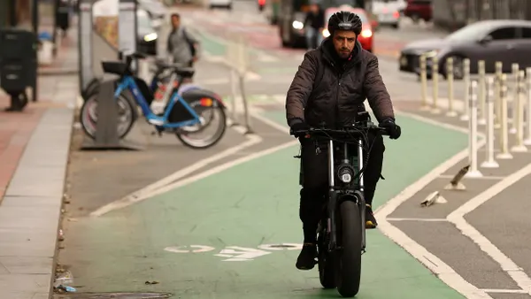
Extreme heat caused an estimated 12,000 premature deaths in the U.S. every year from 2010 to 2020. By significantly reducing the combined effect of air temperature, humidity and radiation, shade from trees and structures can lower the air’s ambient temperature by up to 15 to 20 degrees.
American Forests’ Tree Equity Score shows that communities of color tend to have 38% less tree cover and are 13 degrees Fahrenheit hotter, while poorer communities tend to have 26% less tree cover and are 6 degrees hotter, said Benita Hussain, chief program officer of tree equity at American Forests.
“One of the core parts of our work is really thinking about the data behind that story,” Hussain said. “How do we ensure that we are looking at who has the cooling and cleansing benefits of trees and who does not? This shade map really hammers home the fact that some communities lack shade and some have it.”
Utilizing high-resolution shade-mapping technology developed by the UCLA Luskin Center for Innovation, the shade map adds another layer to the Tree Equity Score. Until now, city planners could gauge land surface and air temperature and tree canopy but were unable to measure shade from trees and buildings, said V. Kelly Turner, associate director of the UCLA Luskin Center for Innovation. With the shade map, planners can measure shade down to the census block group level and see disparities across the city, she said.
Cities can integrate that data with their own policy-mapping tools to determine where they need to prioritize tree planting and maintenance efforts, Hussain said. Austin, Texas, Detroit and Phoenix have all used the tool to “create long-term commitments to drive tree planting and maintenance within their cities to establish cooling efforts,” she said.
Austin is using the data to explore shade coverage disparity across the city and on kids’ routes to school, Detroit is studying shade conditions at and near bus stops, and Phoenix is mining the data to guide improvements in public parks.
“Cities can plan and manage what they can see, and until now they haven’t been able to see shade,” Turner said.
Turner said she hopes the shade map will “change the conversation around shade as … a central piece of infrastructure that cities are planning for.” Most cities aren’t thinking comprehensively about shade as a benefit, she added. “By making it visible for so many cities, we’re hoping to at least get it in the conversation.