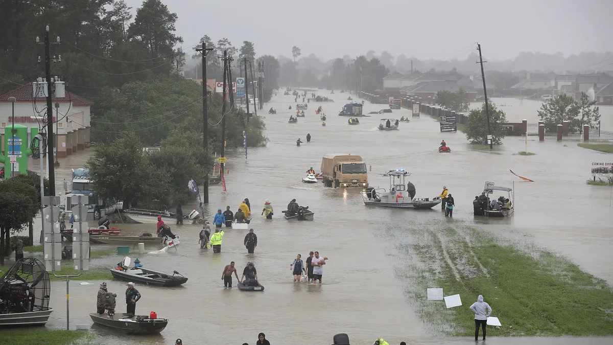
The damage amassed from Hurricanes Harvey and Irma is adding to existing discussions about how to make cities with proximity to water more flood resistant. And with Hurricane Maria on the way, the topic only grows in importance.
Coastal populations are denser than other parts of the U.S. and continue to increase, according to the National Oceanic and Atmospheric Administration (NOAA). In fact, NOAA estimates that nearly 40% of the U.S. population lived along the shore in 2010, and that is expected to increase 8% by 2020. That means about half of Americans would be at significant risk of flooding disasters — and rising sea levels in places like Miami worsen flooding concerns.
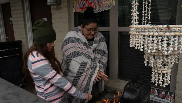
Because flooding situations like hurricanes are unpredictable, not all residents care to purchase flood insurance, which is recommended by the National Flood Insurance Program (NFIP). But flood insurance helps individuals recover more quickly and fully after a flood. Not only does it assist with temporary lodging costs, but it offers extra funding after a flood for those who must elevate or rebuild their properties in accordance with new codes. "They have to comply with new requirements," said Larry Larson, senior policy advisor at the Association of State Floodplain Managers. "Many of these houses were probably built before the community was in the NFIP or before the latest floodplain map was issued, and therefore they might have been built too low."
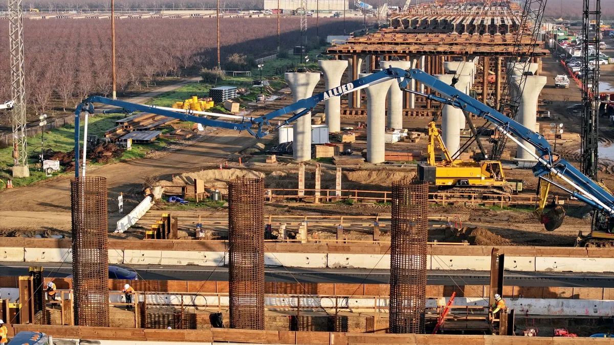
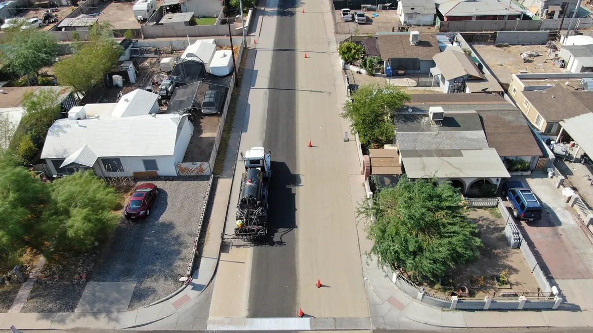
Residents don't have to get through disasters alone; local governments play a major part in a community's ability to bounce back. "A community has to look at its public infrastructure in addition to its citizens" and what damage they can incur, Larson said. They should ask, "When we rebuild this, how can we do it better and smarter?" Ensuring the proper functioning and maintenance of infrastructure such as utilities, roads and bridges is key to a community's stability and recovery after a devastating event.
"Many of these houses were probably built before the community was in the NFIP or before the latest floodplain map was issued, and therefore they might have been built too low."

Larry Larson
Senior policy advisor, Association of State Floodplain Managers
Although some people don't like to address floods until after the fact, advance planning helps immensely. Modern modeling and GIS-aided floodplain maps make that easier. "They can look at individual structures and ... even do simulations ... and see how many structures are covered," Larson said. "They can see the relative depth of them. They can predict how many structures are going to be damaged and what the options might be."
Regardless of strategy, "part of what the community should be doing beforehand ... [is to] develop a hazard mitigation plan," Larson said. "Once a disaster strikes you’ve got so many other things going on that it’s very difficult to hold neighborhood meetings and plan."
Many cities are finding success with accommodating floods with infrastructure changes instead of trying to hold them back with dams or levees. Upgrades to better protect growing communities can be a tough sell, though, for cities already struggling with financial challenges. But a number of methods have been shown to make a city more resilient while lowering the cost of recovery following a flood.
- Enact and enforce regulations: A theme echoed among many hazard mitigation specialists is that people shouldn't be living in flood-prone areas in the first place. They encourage municipalities to enact and enforce regulations preventing or restricting development in such areas. Enforcing regulations related to elevating structures to safer heights is another option.
- Sewer and drainage upgrades: Rather than trying to re-route surface water, funneling it into the sewers can be a possibility. But many sewer systems were built decades ago and are undersized for the populations they serve. Increasing the size of sewers and redesigning some of their drainage patterns can lessen neighborhood flooding.
- Pervious concrete: Research indicates that humans have made flooding worse by paving with asphalt and other impervious components, which prevents storm runoff from absorbing quickly into the ground. But pervious concrete is more porous and allows much more water to penetrate at a faster speed than traditional concrete mixes. Certain pervious concrete applications are also eligible for LEED points.
- Rain gardens: Adding rain gardens is another tactic for absorbing stormwater. They are situated within a depression to capture, hold and filter water that flows toward them. Following Hurricane Sandy, some New York local governments even bought damaged and vacant properties to turn into wetlands to aid drainage and act as buffer zones.
- Retention ponds: These artificially-made ponds and lakes are designed to receive large flows of water very quickly, often through storm drains or underground channels, but they release water to surrounding waterways at a much slower rate. They're often ringed with vegetation to provide stability to the surrounding banks.
- Reservoirs and detention ponds: Unlike retention ponds, which always contain some level of water, detention ponds are dry areas until a storm or flood creates an influx of water. Some cities including Copenhagen have excavated below permeable land, such as parks, to create reservoirs that fill during storms. They can even fill up into the parkland to create a temporary pond.
These tactics can't eradicate all flooding in all urban areas, especially during historic rainfall such as that experienced during Hurricane Harvey. But when implemented correctly, they can lessen the impact by lowering the potential for devastation and easing recovery. With the rate at which populations near water are growing and the threat of worsening water disasters due to climate change, more demand exists than ever before for urban planners who can devise innovative solutions to create flood resilient communities.


