Dive Brief:
- General Motors and INRIX said today they would collaborate on a cloud-based application to provide transportation officials with data to help them measure the effectiveness of roadway safety projects and their impact on communities.
- The Safety View application will combine crash, vehicle and vulnerable road user information with U.S. Census data to help them identify hazardous roadway segments, assess the impact of Vision Zero plans and streamline the federal funding application process by providing required datasets and analytics tools.
- “Data and technology can help cities and counties make really informed decisions about which areas they need to focus on and prioritize,” said Harnit Anand, head of strategy and business development for smart cities at General Motors. “We feel as an [automaker] we can contribute towards that.”
Dive Insight:
At least $5 billion will become available to counties, cities, metropolitan planning organizations, transit agencies and other entities through the new Safe Streets and Roads for All grant program, created under the bipartisan infrastructure law. Information on grant applications is expected to be released by the U.S. Department of Transportation this spring.
Transportation planners will need data to identify and prioritize projects that will have the greatest impact on road safety and better compete for those federal grants, said Anand.
The number of traffic fatalities in the U.S. reached 31,720 through the first nine months of 2021, up about 12% from that period in 2020, according to the National Highway Traffic Safety Administration. That represents the highest percentage increase during the first nine months of any year in the nearly 50-year history of the Fatality Analysis Reporting System, a nationwide census of fatal motor vehicle crashes.
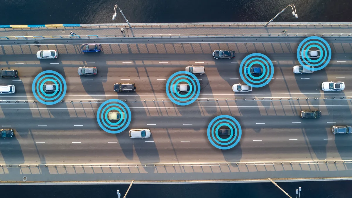
The GM-INRIX product uses data gathered by approximately 15 million OnStar-equipped vehicles in the U.S. and Canada, explained Shawn Granda, head of product at GM, where he leads the company’s Smart City Incubation effort. OnStar is General Motors’ connected vehicle service, launched in 1996, that offers navigation, roadside assistance, crash response and stolen vehicle locator services. Granda said that the data OnStar collects, such as hard braking or pothole impacts, can help identify roadway hazards. All data is aggregated and anonymized so that no personal information is revealed, he added.
Additional data comes from INRIX’s roadway analytics platform and public sources such as the U.S. Census. “This collaboration extends INRIX IQ — our SaaS-based platform for cities and road authorities — by providing access to powerful insights about roadways to improve safety for all road users,” said Bryan Mistele, co-founder and CEO of INRIX, in a press release.
Before launching this program, Anand said, GM interviewed hundreds of transportation agencies and conducted a yearlong pilot program with one agency. Although unable to disclose the name of that agency, “they were a very good partner in helping us understand how we can leverage connected vehicle data and build out this technology,” she said.
Granda explained that today’s announcement is a first step in GM’s plans for its Future Roads platform that uses connected vehicle data to help cities make smarter infrastructure decisions. Future products will focus on road assets and weather, he said.


