Dive Brief:
- Ft. Lauderdale, FL has adopted Gridics' 3-D interactive zoning code software platform, Zonar.City.
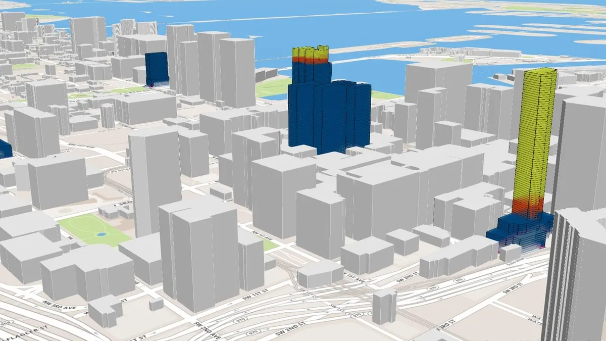
- The platform integrates the city's zoning code into a cloud-based digital application to allow city staff to manipulate and analyze factors such as regulations and property records on a 3-D map.
- The program is designed to improve a city's efficiency and transparency in managing, changing and communicating zoning regulations.
Dive Insight:
Gridics is a Miami-based real estate tech company and it already has partnered with other South Florida cities on Zonar.City, including Miami and Delray Beach.
The program's 3-D modeling makes it easier to see how zoning changes would affect a city once implemented. For example, it can help with feasibility studies and site plan reviews by showing a building's code characteristics such as allowable heights and setbacks. This makes it easier not just for city staff members to perform analyses, but also to show the public what codes are in place in the city, how they could change and what properties are affected by the codes.
This program provides a tool in a space that can be lagging in many cities. Zoning maps aren't always depicted on easy to use programs, which makes some aspects difficult to visualize. Some cities don't even digitize the maps. A high-level program with easy visuals can prevent confusion and clutter from multiple rounds of changes.


