Dive Brief:
- New York City is upping its public restroom game, announcing on June 3 a Google Maps layer to help people find public restrooms using their phones or other mobile devices.
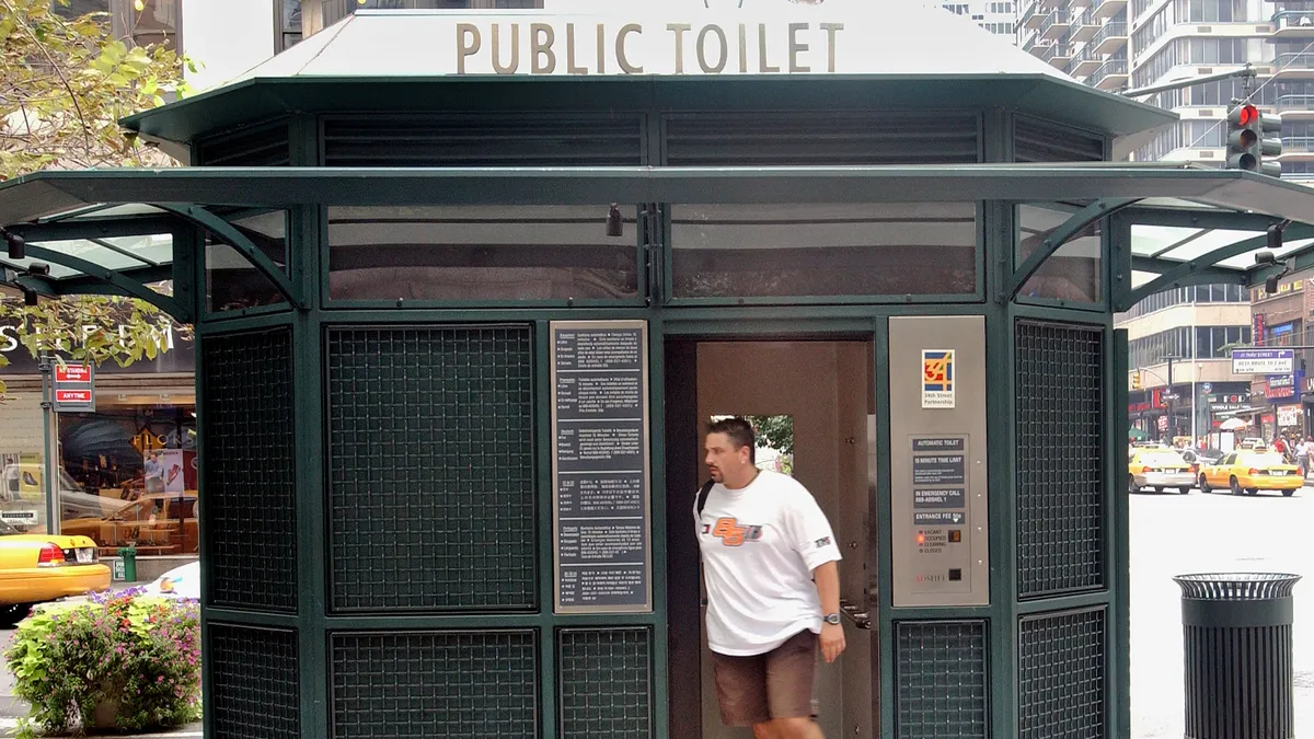
- The city says it will also build and renovate dozens of new public restrooms in the next five years and create a joint task force to help site and fast-track approvals for 14 self-cleaning automatic public toilets.
- “Everyone — seniors, parents with kids, anyone enjoying the day outdoors, needs access to a public bathroom without having to buy anything or beg for a code,” Deputy Mayor for Operations Meera Joshi said in a statement, calling public bathrooms “critical infrastructure.”
Dive Insight:
Cities nationwide have struggled with the question of how to build out public restroom infrastructure. In part, they say they are motivated by the desire to serve those experiencing homelessness, who may have no other facilities available.
The U.S. has about eight public restrooms per 100,000 people, according to QS Supplies’ 2021 Public Toilet Index. Topping the list is Iceland, with 56 per 100,000 people; the U.S. ranks 30th, below nearly two dozen European countries as well as New Zealand, Australia, Canada, Japan, Taiwan and Hong Kong.
Public bathrooms allow city residents to use public spaces more often and for longer, New York City’s Alliance for Public Space Leadership said in a statement. “There are far too few public restrooms in the city right now and the ones we have aren’t easy to find,” the organization said.
New York City says it has nearly 1,000 public restrooms. Its recently announced plans will create 46 new restrooms and renovate 36 existing restrooms, adding more stalls, energy efficiency features and accessibility upgrades.
The city’s Google Maps layer shows information including the organization that operates each restroom, what time of year the facility is open, the hours of operation, its ADA accessibility, gender designation, whether it has a diaper-changing station and whether it is single-stall or multi-stall.
The city plans to update the map twice a year. It shows restrooms operated by the city’s parks and transportation departments, the Metropolitan Transit Authority, libraries and private organizations that operate public spaces. The data is publicly available so that people can build their own tools and analyze the public toilet landscape, the city says.
Advertisements for the maps layer will run on the city’s LinkNYC kiosks and taxi TVs through September.


